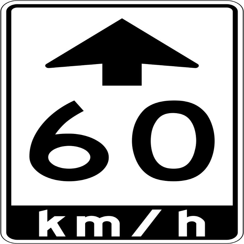
The Town of The Blue Mountains has advised the public that, as a result of increased traffic volumes and pedestrian activities in the area, the Ministry of Transportation has decided to reduce the speed limit to 60 and 70 km/h speed zones on portions of Highway 26 through Craigleith. The changes come into effect on Monday, June 21.
The amendments to the regulatory speed limits on Highway 26 include the following:
- From the intersection of Grey Road 21/Long Point Road travelling westerly the changes include: 70 km/h from Fraser Crescent East Junction to east of Grey Road 19 (reduced from 80 km/h);
- 60 km/h from east of Grey Road 19 to east of Arrowhead Road (reduced from 80 km/h).
To view a comprehensive map identifying the speed change implementation, visit: https://www.thebluemountains.ca/document_viewer.cfm?doc=4038
In addition, the Ministry of Transportation has provided a Q&A Document to help answer common inquiries related to this decision. To view the Q&A, visit: https://www.thebluemountains.ca/document_viewer.cfm?doc=4039
The new 60 and 70 km/h speed zones along Highway 26 were determined based on the results from the speed studies conducted by the Ministry of Transportation, the Transportation Advisory Committee Guidelines for Establishing Posted Speed limits.
To communicate the new changes to the speed limits impacted, the Ministry of Transportation will be adding ‘NEW’ signage on top of the ’60 km/h Begins’ and ’70 km/h Begins’ signs, which will remain in place for 30 days. The Ministry of Transportation, in consultation with the Town of The Blue Mountains, Grey County, the Town of Collingwood, and the Ontario Provincial Police will continue to actively monitor speed and traffic operations along Highway 26 to ensure the speed limits reflect ongoing development and changes along the area.
In addition, the Ministry of Transportation recently changed the two warning signs for the Georgian Trail Crossing on Highway 26 east of Thornbury. The warning signs were changed from a ‘hiker’ symbol to ‘pedestrian and cyclist’ symbols with a ‘CROSSING’ sign also added. The symbols were changed to better reflect what a motorist might encounter crossing Highway 26.
The Ministry has also planned to install a flashing amber beacon on top of ‘pedestrian and cyclist’ warning signs to enhance their visibility.
The Ministry of Transportation will also be completing a study to determine if there is a benefit to install a pedestrian crossing at the Georgian Trail Crossing on Highway 26 east of Thornbury. The study will be based on the guidelines provided in Ontario Traffic Manual (OTM) Book 15 – Pedestrian Crossing Treatments. The study is planned for this summer and more information will be shared when available.


